
Description
Summary
Description
Take a small-group private photography tour to the magical Snæfellsnes Peninsula with your own expert photography guide! This is the perfect opportunity for photographers, both experienced and novices alike, to capture the diversity of the Icelandic nature with knowledgable guidance and one-to-one tuition.
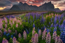
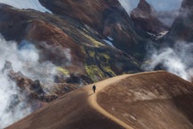
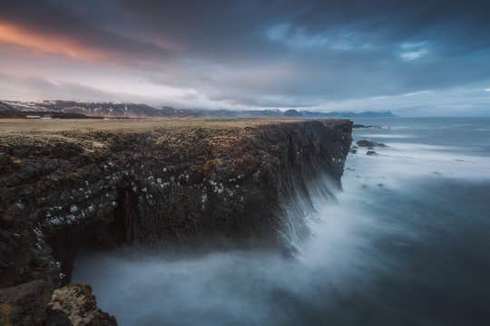
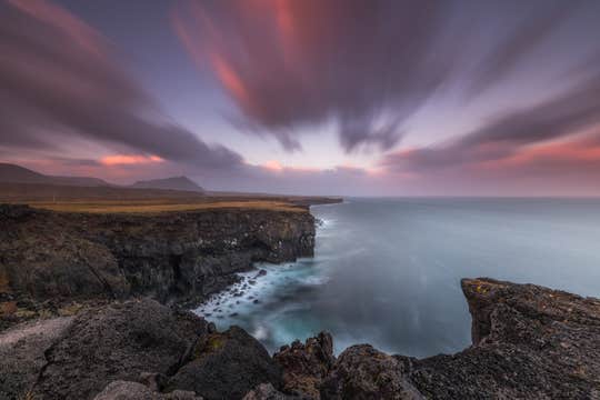
Snæfellsnes is sometimes called "Iceland in Miniature", as there are many diverse sites that can be found there which sum up the Land of Fire and Ice in a nutshell. Most of the coastline is dotted with small villages, with a dramatic backdrop of beautiful mountain ranges and the wild waves of the Atlantic Ocean crashing into soaring cliff faces.
On the morning of your tour, your group will be picked up from Reykjavík by one of our guides in a large 4x4 jeep. From there, you’ll travel past the mountain Esja and up the West Coast until you reach Snæfellsnes. The mighty Snæfellsjökull glacier will loom over you throughout your journey around the peninsula.
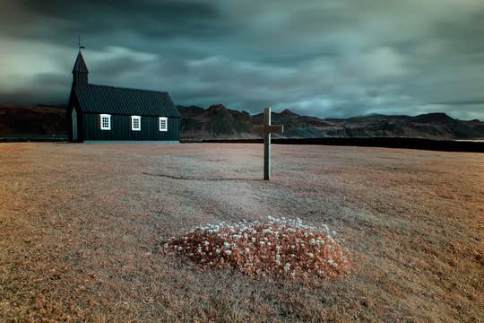
Among our focal points is the romantic, windswept hamlet of Búðir with its charming, jet-black Búðakirkja church and surrounding moss-covered lava field. You’ll also visit the beach by the village Arnarstapi where you’ll find spectacular rock formations as well as lots of birdlife.
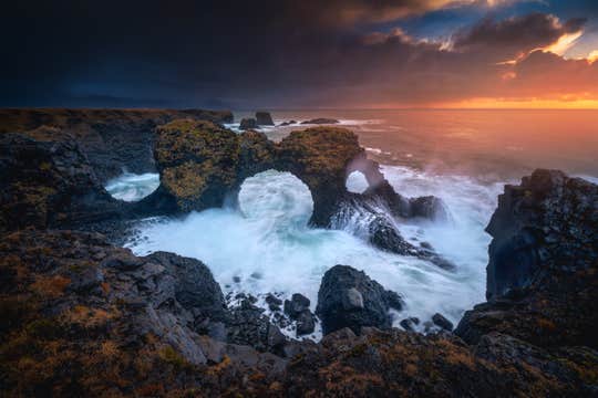
Meanwhile, at the dramatic Lóndrangar sea stacks, you'll sense nature’s beauty in all its vividness and power. The basalt volcanic plugs here have been uniquely shaped by sea and winds over time.
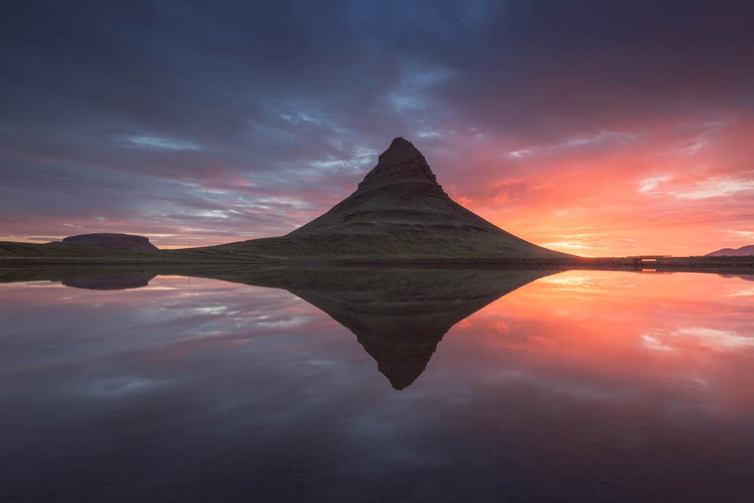
One of the highlights of your tour will be the impressive Mount Kirkjufell and its beautiful Kirkjufellsfoss waterfall, situated by the fishing town Grundarfjörður. Winter offers the chance to capture the scenery with the Northern Lights while the area is blanketed in snow and ice. If you happen to visit during summer, then you will have the perfect chance to capture a blazing sunset beneath the golden light of the Midnight Sun.
Don't miss out on the chance to fill your portfolio with unique photographs of the Icelandic nature on this private photo workshop to the Snæfellsnes Peninsula. Check availability by choosing a date.
Good to Know:
Please note that we don’t provide extra passengers to fill up the 4 passenger quote. The tour is private to your group. If you have more than 4 passengers, then please contact us for a quote. If this tour appears as fully booked, don't hesitate to contact us as additional tours can be arranged on your selected date.