
Description
Summary
Description
Journey across some of Iceland's most remote landscapes on this 10-day photography tour of the Highlands and South Coast. This tour is perfect for photographers with a sense of adventure as well as looking to sharpen their camera skills.
This midnight sun tour will be led in small groups by award-winning, professional photographers, giving you the opportunity to hone your skills in the company of friendly, knowledgeable experts. Every evening, your accommodation will be arranged for you as well as all of your meals and airport transfers.
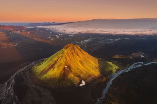
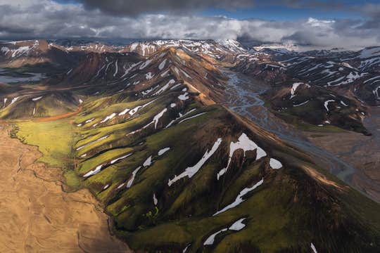
You’ll be whisked away in a modified 4X4 vehicle to the heart of Iceland’s remote highlands, where you’ll capture desolate scenes of natural beauty and photograph Iceland’s iconic landscapes.
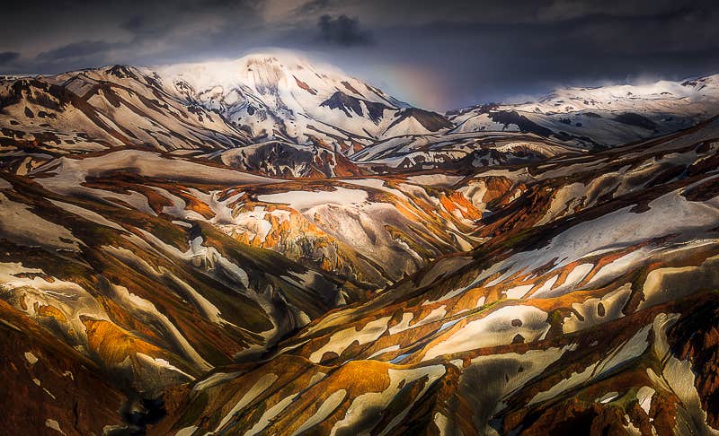
You will see the captivating geothermal sceneries to be found at both Hveravellir and Landmannalaugar, the multi-coloured rhyolite mountain ranges across the central Highlands, countless waterfalls as well as the serene and splendid glacier lagoon at Jökulsárlón.
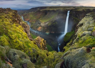
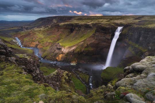
Iceland truly is a land of contrasts. At Fjaðrárgljúfur and Sigöldugljúfur canyons, you will photograph lush, green, moss-covered scenes whereas at the Diamond Beach you will capture glistening ice crystals as they sit upon the volcanic black sands that Icelandic beaches are famous for. You will visit the most famous of these, Reynisfjara beach.
Pack your camera and prepare for the adventure of a lifetime, as you venture out into the wilderness to explore Landmannalaugar, Vatnajökull and beyond. Check availability by choosing a date.


