Kerlingarfjöll
Kerlingarfjöll peaks.jpg
The peaks of the Kerlingarfjöll area, close.
Highest point
Elevation 1,477 m (4,846 ft)
Coordinates 64°39′N 19°15′WCoordinates: 64°39′N 19°15′W
Geography
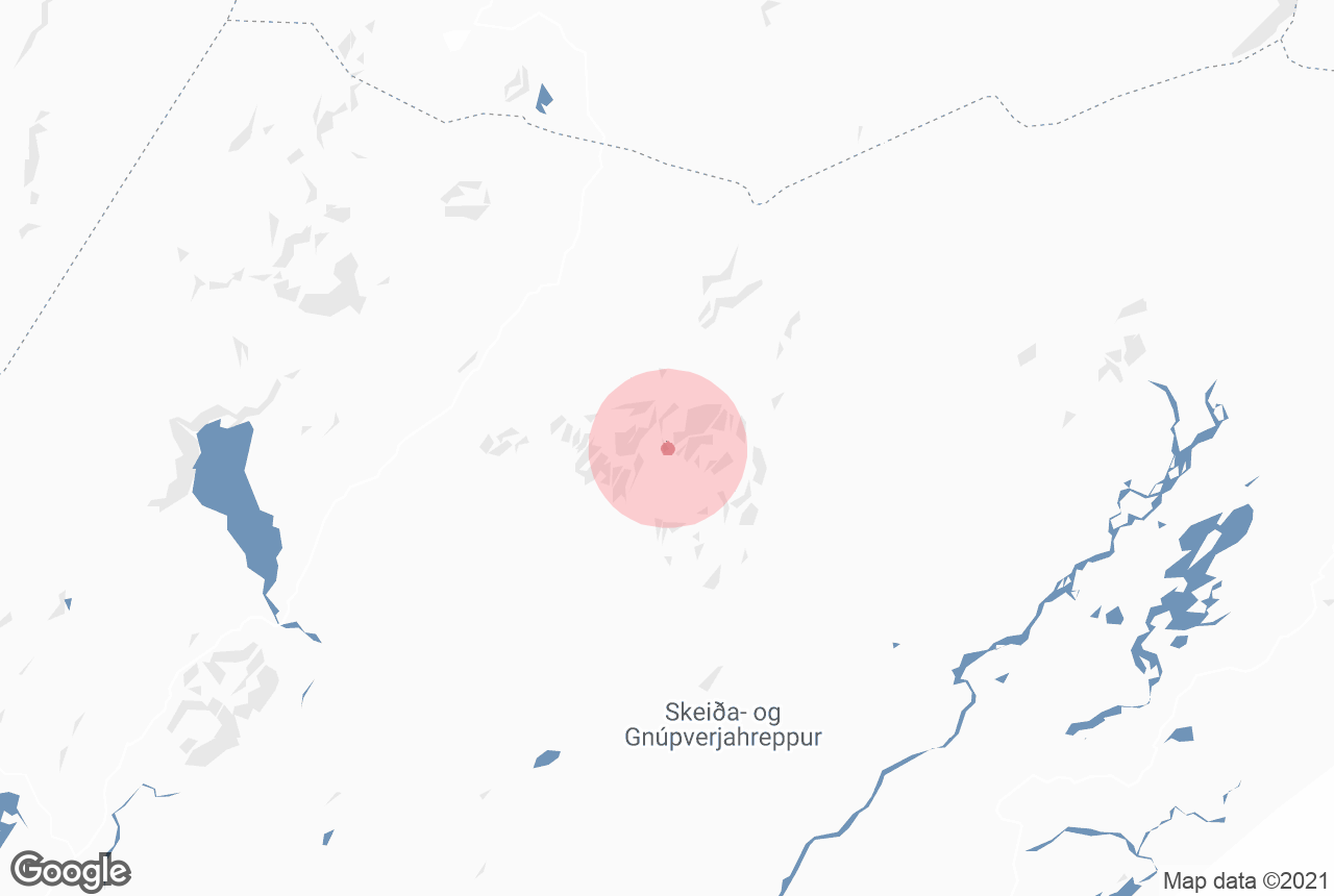
Kerlingarfjöll is located in IcelandKerlingarfjöllKerlingarfjöll
Location of Kerlingafjöll within Iceland
Location Iceland
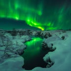
Kerlingarfjöll is a 1,477 m (4,846 ft) tall mountain range in Iceland situated in the Highlands of Iceland near the Kjölur highland road. They are part of a large tuya volcano system of 100 km2 (39 sq mi). The volcanic origin of these mountains is evidenced by the numerous hot springs and rivulets in the area, as well as red volcanic rhyolite stone of which the mountains are composed. Minerals that have emerged from the hot springs also color the ground yellow, red and green.
The area was known formerly for its summer ski resort, but this was dismantled in 2000. Since 2000, Kerlingarfjöll has been operated as a highland resort, offering accommodation and food services to guests in the area.
It was on March 17 in 2017 that the Iceland Monitor wrote that Kerlingarfjöll Mountains and geothermal area were being turned into a nature reserve. Although parts of the place already had protection, after made into reserve, all the whole 367 square kilometres are to be under the protection of the state of Iceland. Earlier, there had been thoughts of using the 140 degree Celsius hot springs as a geothermal power plant. It had already been popular of course with hiking and the tourists.